HISTORY
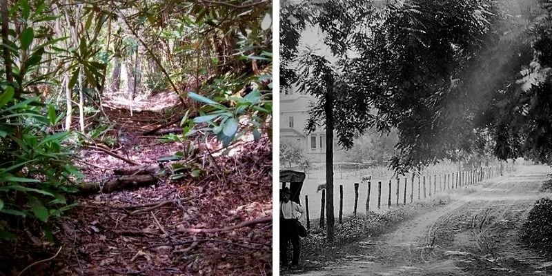
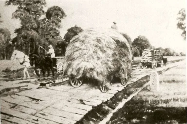
Before there were highways, there were paths—then trails, rails, roads, and finally the highways. The paths of prehistoric animal migrations led to Native American walking trails which preceded railroads through the eastern United States. Next came roads—barely passable at times whether one was riding on a horse or in a wagon. Finally came pavements—packed earth, gravel, and wood planks transitioned to cobblestones, Macadam, granite blocks, brick, and finally asphalt and concrete.
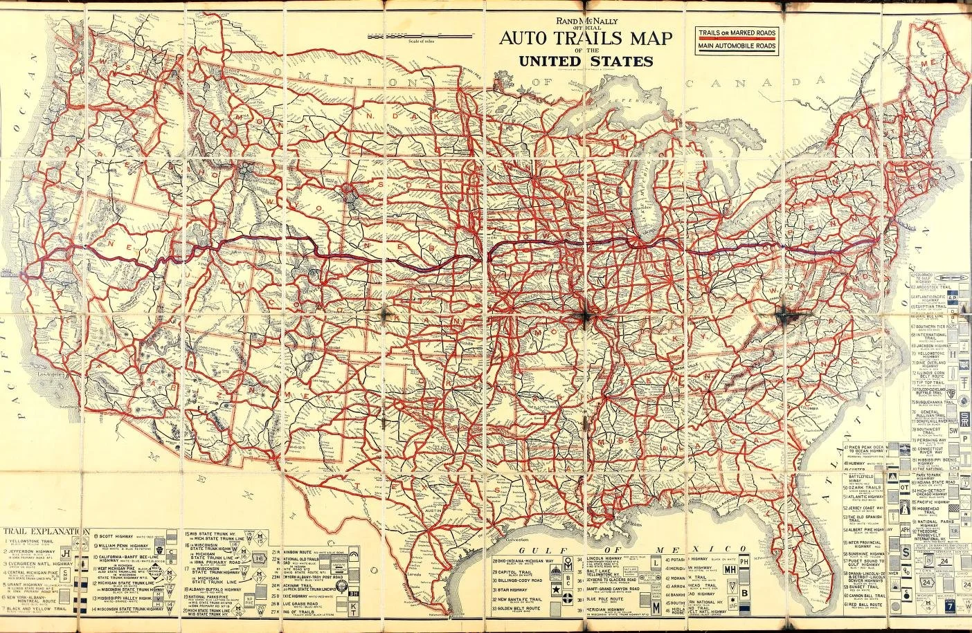
Initially, auto trails designated by auto trail associations were the main means of marking roads. These were private organizations and the system of road marking was haphazard and not uniform. To correct this problem, the U. S. Highway System was approved on November 11, 1926, creating a uniform numbering system backed by federal support. This system continued until 1956 when the Interstate Highway System was laid out and construction begun.
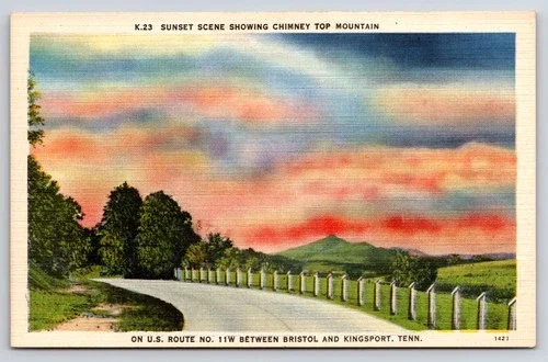
US Highway 11 (Route 11) was established on November 11, 1926 (11/11/1926) and runs 1,645 miles from New Orleans, Louisiana to Rouses Point, New York and the Canadian border. It traverses 10 states and follows many of those Native American paths, wagon trails, and railroad lines to link the Gulf with our northern border.
Unlike its more famous counterpart Route 66, US Highway 11 retains most of its original route and its official US highway designation. As is Route 66, it is paralleled by multiple interstates including I-59 in Louisiana, Mississippi, Alabama, and Georgia, I-75 and I-40 in Tennessee, and I-81 in Virginia, (very briefly) in West Virginia and Maryland, and in Pennsylvania and New York. Route 11 intersects with east-west US Highways 90, 80, 70, 60, 50, 40, 30 (the Lincoln Highway), and 20.
Route 11 has various names along its length, including the “Bessemer Superhighway” in Alabama and the “Lee Highway” and “Andrew Jackson Highway” in east Tennessee and Virginia. Through Virginia, it follows the roadbed of the colonial trail known as the “Great Wagon Road” which connected Lancaster PA to the Yadkin Valley in North Carolina. In the Shenandoah Valley, it follows the Valley Pike which was formerly a migratory path for Native Americans between Georgia and Canada. In Pennsylvania and Maryland, it is known as the “Molly Pitcher Highway”. After the Civil War, it was considered the “Healing Highway” because of its connection between north and south.

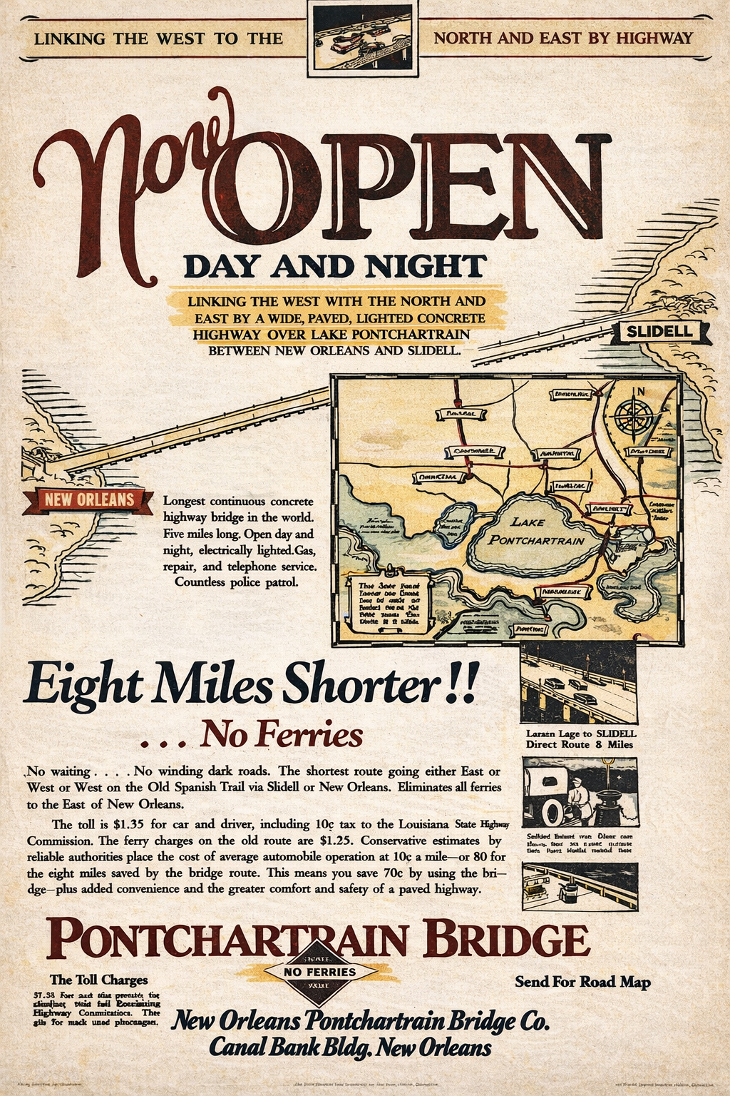
Route 11 begins in the sandy soil of coastal south Louisiana and traverses the swamps and Pine Belt of Mississippi before passing across the dark fertile soil of Alabama’s Black Belt. Mountains first appear in the brief passage across Georgia before encountering the Appalachians in earnest in Tennessee and Virginia, with waterfalls, caves, and plateaus. West Virginia and Maryland give evidence of the importance of rivers and canals, and in Pennsylvania are found bridges, mines, and quarries. Finally, New York completes the journey with more quarries, rivers, and canals as the road ends in the North Country region and the Canadian border.
Driving Route 11 is like driving through the history and prehistory of our nation. Prehistoric mounds, Native American trails and villages, Revolutionary War and Civil War events and memorials, early railroad locations and structures, caves and waterfalls, and beautiful museums and buildings from the 18th, 19th, and 20th centuries as well as countless iconic tourist attractions and diners will all be encountered as one drives this wonderful and historic highway.